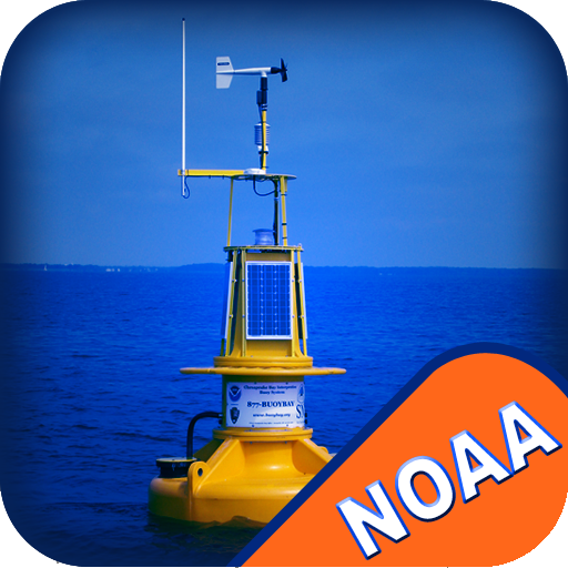

Features NOAA Buoys Stations & Ships
NOAA Buoy data viewer allows you to retrieve info like tides, wave height and period, wind speed and direction, air and water temperature, humidity, dew point, atmospheric pressure, rising and falling indicator, visibility, tsunami and typhoon warnings on the detailed marine chart thanks to viewer.flytomap.comAll buoy stations & ships are displayed on the world map based on the user’s current location while boating.Sailors & Mariners can find the nearest buoy station &ships showing station name, ship name, date, time along with their respective icons.Just tap and get the info you require.Advise and info are coming directly from NOAAs National Data Buoy Center.A must for boaters, sailors, anglers and divers.Detailed Features:* User friendly and easy to handle * All buoy stations and ships are shown on the map based on the user’s current location* By taping on the Icons detailed information is displayed* By taping on GPS Icon the present location on the map is shown* Detailed live buoy data with access to location specific forecasts.* Buoys sorted by proximity to your selected location.* Tide Predictions.* Moon phases.* Zoom, Rotate and Pan fast just by a finger touch.Follow us:▶Twitter @flytomap▶Web Site flytomap.com ▶Web App viewer.flytomap.com▶Facebook facebook.com/flytomap**For the buoy locations available on NOAA BUOY app, go here: http://www.ndbc.noaa.gov/NOTE :“ The information provided on this app is for reference only .”“ Continued use of GPS running in the back ground can decrease battery Life”“Turn off GPS when not in use”
Secure & Private
Your data is protected with industry-leading security protocols.
24/7 Support
Our dedicated support team is always ready to help you.
Personalization
Customize the app to match your preferences and workflow.
See the NOAA Buoys Stations & Ships in Action


Get the App Today
Available for Android 8.0 and above